
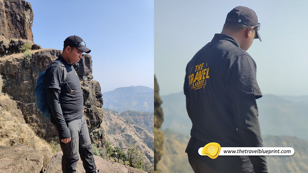
Mahuli Fort Trek
- Ajaz Shaikh

- Feb 16, 2021
- 6 min read
Updated: Aug 13, 2021
Mahuli Fort is located near Mahuli Village in the Thane District of Maharashtra. Mahuli has a long history culminating with the Maratha empire in the 18th century. It is a cluster of 3 forts very close by- Mahuli, Bhandargad & Palasgad. Mahuli Fort is at 2815 ft, which is the highest point in the Thane district, hence it is also known as Everest Of Thane. The trek route offers some exceptional views of adjoining mountain ranges; also being a part of the Tansa Wildlife, Sanctuary there's a chance of spotting some rare species of flora and fauna especially in the monsoon.

Mahuli Fort is a paradise for rock climbers because of many nearby pinnacles with interesting names like Vazir, Vishnu, Navra, Navri, Mahuli-Chanderi etc., given by the local trekking and climbing fraternity. Palasgad is northern side, Mahuli is in the middle and Bhandargad stands on the southern side. The entire trek from base to the summit is an easy grade level trek but requires high endurance.

How to Reach From Mumbai?
Mumbai Local Train: The cheapest and most convenient way to reach Mahuli base village of Mahuli Fort Trek for Mumbaikar is through Local Train (Central Railway). Take a local train till Asangaon railway station. I suggest taking 10:50 PM from CSMT which will reach Asangaon by 01:00 AM. From Asangoan Railway Station you can get a rickshaw easily for Mahuli Village. which will cost you ₹300 one way for a 6 km drive from the station to the base village in 20 minutes. It is advisable to take the contact numbers of the autowala so that you‘ll have some alternative for the return trip. Confirm the fare for the return trip beforehand.
Mr Raghunath Krushna Agivale (+91 78753 22744) one point of contact for everything you need - a place to relax for the rest of the night, breakfast, lunch, a local guide and a friend. He is also a member of the Maharashtra Mountaineers Rescue Team and lives in Mahuli Village.

Alternatively, buses ply from Shahapur to Mahuli with ticket priced at ₹20. You can reach Shahapur by sharing an auto for ₹15 per seat from Asangaon or alternatively, catch the bus as it turns towards Mahuli from the highway opposite Asangaon station. The first bus from Shahapur bus stand leave at 06:30 AM and the last buses to Shahapur from Mahuli leave at 06:00 PM, so plan your travel accordingly.
Private Car: If comfort is your priority and travelling in a group go by car. Mahuli is well-connected to Mumbai by roadways (NH3 - Mumbai Nashik Highway) it will take around 2/3 hours with a break. The road is well constructed. Several ATMs, petrol pumps, hotels, restaurants and banks are located on the route. Just make sure that you download the area before starting your journey because you might lose the signal multiple times on the way.
History Of Mahuli Fort
Mahuli’s historical significance lies in the various eras of rulers who have ruled here. Beginning with the Mughals who created the fort, it came under the rule of the Nijamshahi dynasty in 1485. It was later on won and sacrificed by Chatrapati Shivaji Maharaj twice, passing it back to the Mughals in the treaty of Purandar. In 1670, when Gaud was in charge of the fort, Marathas attacked the fort again, but ended up losing a gem, Sardar Kadam, later named ‘Sonare’ (Gold of Swarajya) by Chatrapati Shivaji Maharaj. By mid-1670, the fort was conquered by Moropant Pingle and added to Swarajya. Around 1,700 different climbing pinnacles surround this fort, making it a fort worth fighting so much for.

Paradise For Rock Climbers
Mahuli trek begins from its base village - Mahuli village. There is Lord Shiva temple at its base. There is an entrance gate that welcomes all the trekkers. You can park your two-wheeler her. There are no parking fees, but you have to pay an entry fee of ₹20 as this fort is maintained by Maharashtra Government.


The initial trek route is simple and you will come across a bridge which has been built recently to help ford it during monsoon when it tends to swell dangerously after a heavy downpour. The trail is well-marked till the bridge along with the diversions to the waterfall and a dam. The waterfall can only be seen in the monsoon because the stream gets dry by the start of winter. Mahuli fort trek route is well marked with arrows and proper signboards. I suggest stick to the marked trail which is Mahuli Village – Forest Entrance Gate – Newly Constructed Bridge – Jungle Trail – Multiple Rock Patches – Ridge – Iron Ladder – Mahuli Fort Top. There is proper white arrow marking at regular intervals for people to follow.

The initial climb is very gentle, but as you go higher it became steeper. Within 30 minutes of walking uphill from the bridge, you will come across a flat patch of land know as Koti Plateau.
Koti Plateau is also one of the best locations in the region for doing star gazing.


Continue from here you will enter a spare forest. The landscape turns arid as you approach the ridge. The path here skirts the southern edge but the valley is gently sloping and therefore, fairly safe. You would see the orange flag fluttering on the dilapidated fort tower from the base of the ridge (Tadmachi Plateau).


Climb onto the ridge through a steep crevice. Take a left from the crevice to head towards the fort and take right to reach a vantage point on the ridge to soak in the views. The path which is heading toward the fort is called Ghodacha mana (Neck of Horse).


A 15 min walk along the ridge takes you to the base of the plateau of Mahuli fort. The route zigzags upwards with a couple of simple rock patches along the way.

We could see the famous ladder on the wall as we reached the fort. It is placed at an angle of 70° but that isn’t the main problem. The issue is that the ladder doesn’t have a firm base at the bottom and is held in place with a chain tied to a screw bolted in the dilapidated fort wall at the top. Also, the rungs aren’t horizontal but slant towards the valley. This makes you lean back while climbing the ladder, which isn’t too convenient. One person held the ladder at its bottom while others climbed it one at a time.


A narrow path to the left of the ladder goes into the fort whereas the right takes you to a flat rock which is the most clicked area of Mahuli. Five minutes of walk from here brings you to a small tank but sadly doesn't have potable water.

After another 15 minutes of walking downhill from the small tank following the marked trail for Maha Darwaza, you will reach the Mahuli Fort. On the fort under a tree above the caves, there is a Shivling (open Shiva temple) along with idols of Lord Hanuman and Chhatrapati Shivaji Maharaj and with another Maratha flag. From this tree, we could see the fortification walls around the mountain. Following the step which leads towards the caves (Of which larger can be used as overnight shelter), you will see a stone arch historically known as the Maha Darwaza, the erstwhile main entrance to the fort in its glory days. But the dome of the arch is now broken This was the gate for the route from Kalyan but the steps were blown away by the Britishers in the 19th century. If you plan to take this route, Vashind is the nearest station but be warned that it isn’t in use anymore and requires serious rock climbing skills.


Take a break to eat something before starting to descend which will usually take less than half the time you take to climb any fort but not in the case of Mahuli it was not that easy. It is the same route you have taken to climb up.
Best Season to Visit Mahuli Fort
The best time to do the Mahuli fort trek is from June to February. During this period you can see the spectacular views from Mahuli fort.

Monsoon is the best season to see the lush green Sahyadris. All the fields in the villages and trails will be full of green grasses. Post monsoon season offers a clear view of the famous forts and peaks from the Top. You can expect pleasant weather during this time.
I genuinely believe people form bonds with mountains. As Ruskin Bond has succinctly put it-
“It is always the same with mountains. Once you have lived with them for any length of time, you belong to them. There is no escape.”
The good part?
I don’t intend to escape! 🙂
Listen To Me:
Carry some ready to eat food, atleast 3-4 litres of water and a mat/bedsheet to rest. There aren't any food options available during the trek at Mahuli Fort
Talk to the native villagers gently and give respect to them, because you are their guests.
Wear full sleeves T-shirt and Pant, that will protect you from the wild insect. Its a jungle, we are bound to bump into these wild insects like leeches. If possible carry a walking stick also.
An empty tiffin box to carry lunch or refreshment.
Carry an Id proof.
Snapshot:
Trek Level: Easy but High Endurance
Base Village: Mahuli, Thane - Maharashtra
Altitude: 2815 ASL
Time Required: 5 - 6 hours round way.
Region: Thane District


Comments